Alpenblick Visualizer
Explore which Alpine peaks are visible from anywhere in Austria with an interactive 3D map.
The Alpenblick app lets you navigate a 3D map of Austria and read mountain-peak visibility for any location. A click on the map reveals the perspective from that point looking toward the closest summit. An opaque overlay shows where peaks are visible from: the more intense the colour, the more peaks. Each summit is marked with a label floating above it.
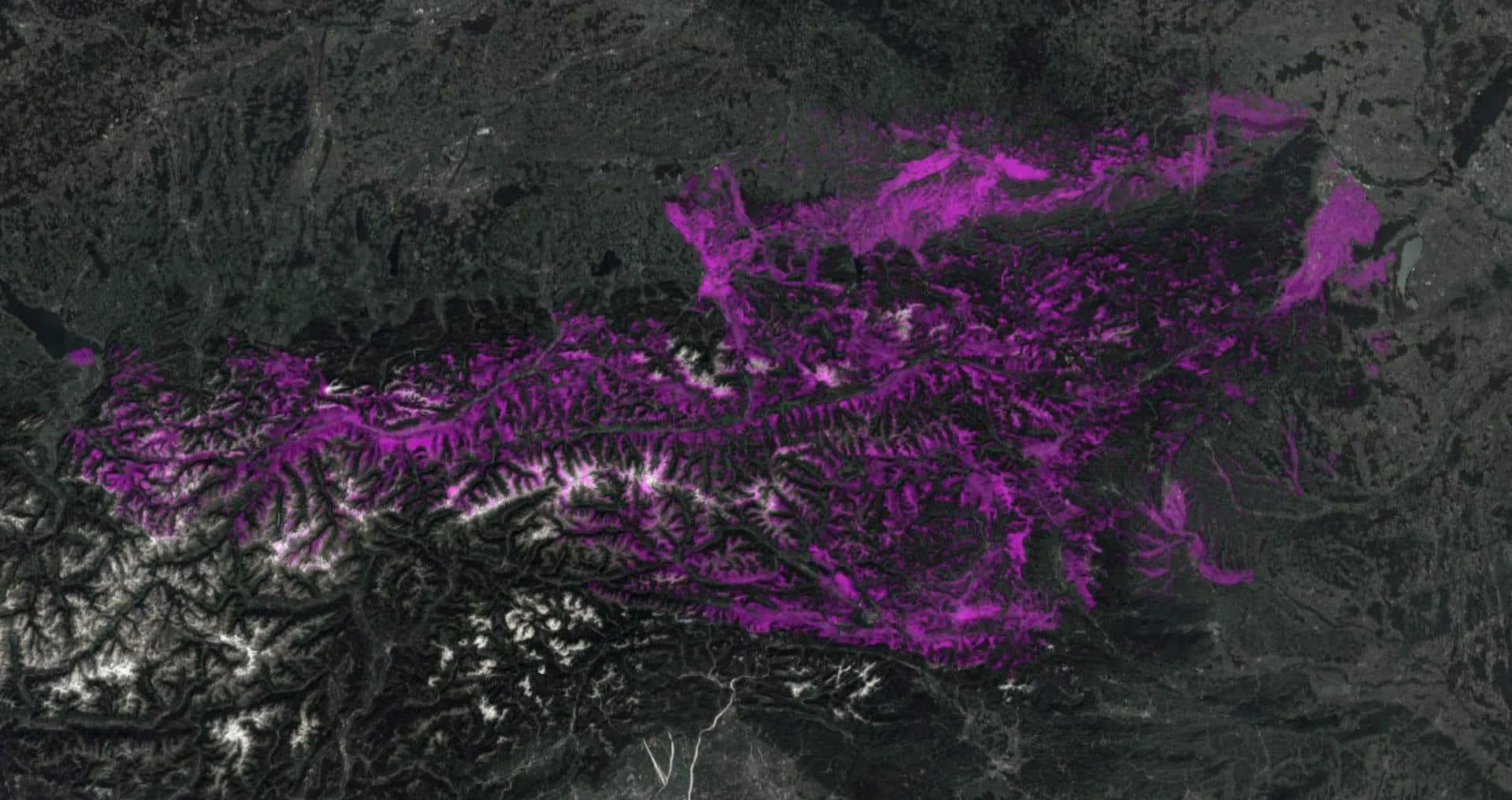
The project is also a study in how far a small amount of code can go when the right components are available off the shelf. In the GIS world this kind of question is a viewshed analysis, a standard tool in any GIS suite. Feeding a publicly available high-resolution digital elevation model (DEM) through that pipeline produces a layer showing visibility from each location within 100 km, computed from an observation height of 1.60 m (roughly eye-level) toward the significant summits of the Austrian Alps.
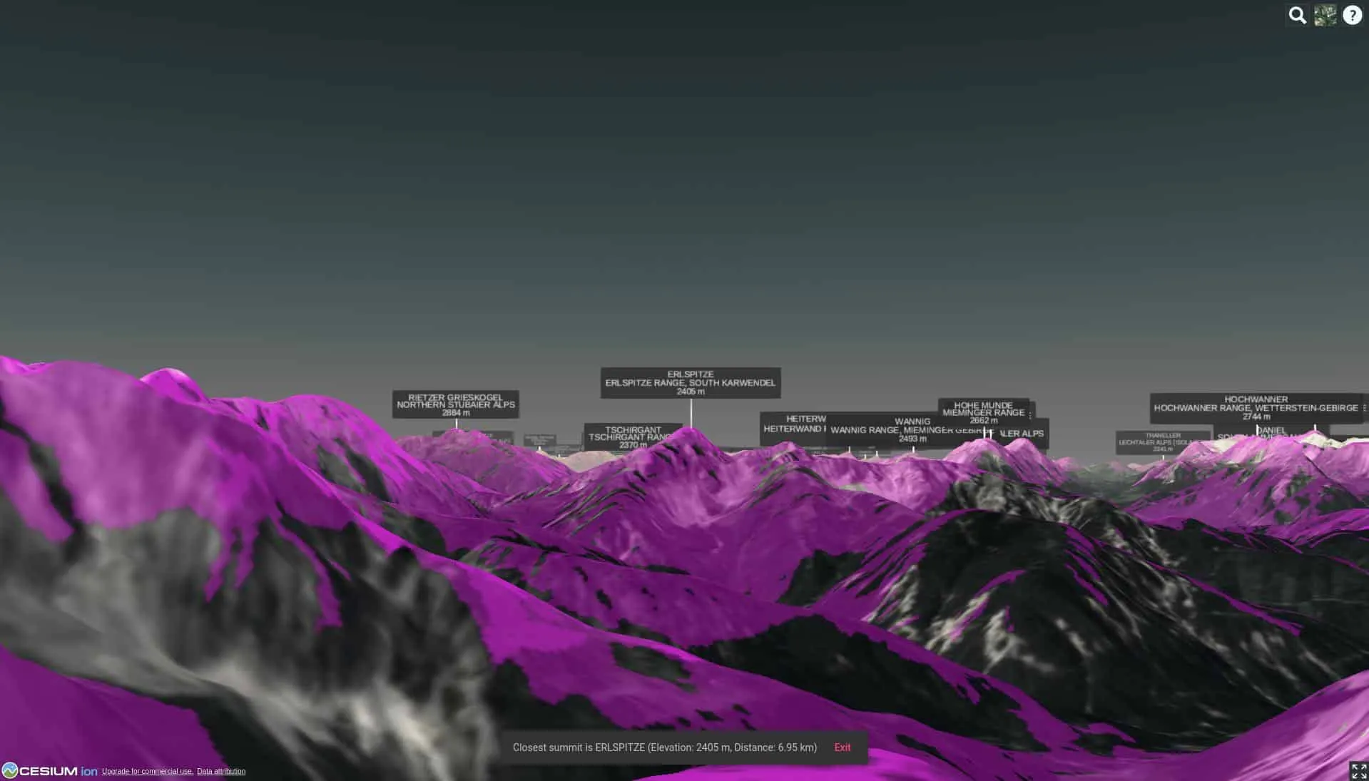
The app itself is a web build using CesiumJS for accurate 3D rendering of the terrain surface; the library's geospatial primitives make it possible to assemble a usable 3D scene in only a few lines. Data was pre-processed with the open-source QGIS and uses open data: Digitales Geländemodell (DGM) Österreich by Geoland.at, and AlpsOver589m.xls by Eberhard Jurgalski et al.